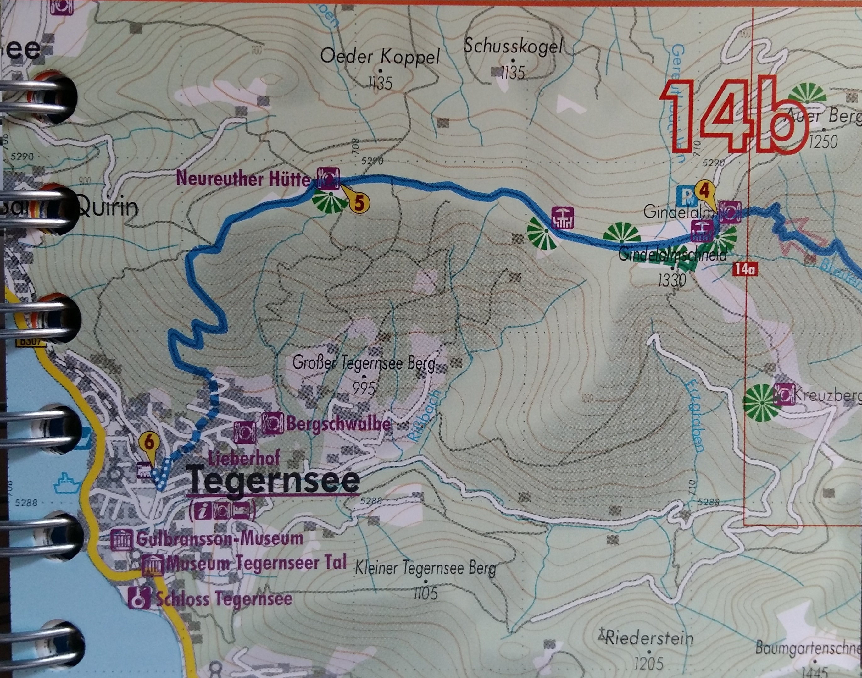
Hike from Schliersee to Tagernsee via Gindalalmschneid
Three days’ earlier we had entertained a walk that was a little trickier than we had anticipated from the guide. Fo r this walk we decided to tackle a point-to-point walk Schliersee to Tagernsee. A total of 12.1 km mostly on gravel hiking paths with a 580m ascent (we think it was a little more than this).
The first part is forest – wonderfully cool, if a little monocultured. Hennererhof is the end of the navigable path by motor vehicles. The walk continue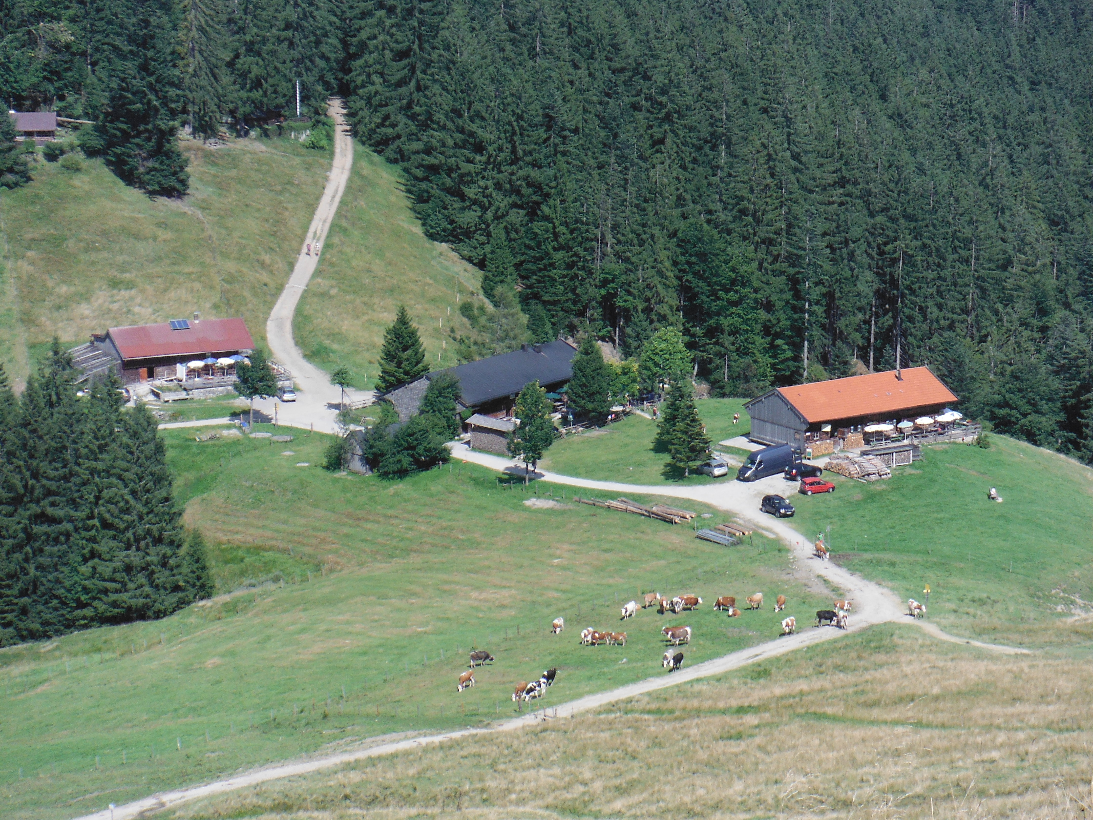 s through the forest and emerges for a 30 minute ascent to Gindelalmschneid. The view to the north looks to the flatlands towards Munich (just visible on the horizon). The Alm is tucked in to the landscape below the peak (right). We took food with us and enjoyed it on a bench next to the Crucifix, the ever-present feature of alpine peaks.
 Onward towards Tegernsee (left). More forest, but also exposed expanses of meadow with views (right). There are no grea
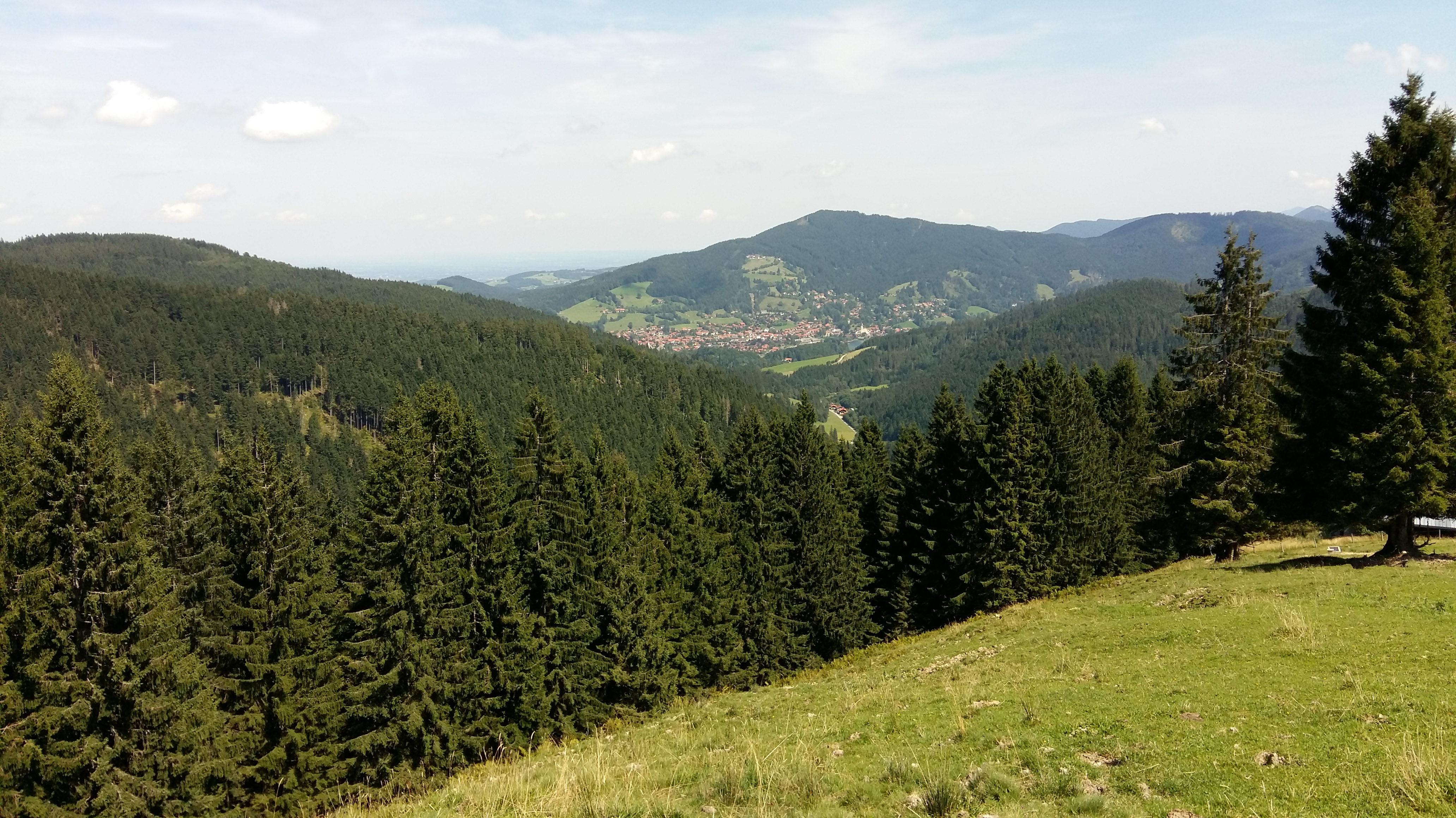 t surprises, but the approach to Tegernsee has one anticipating a beer at the town’s brewery which, seemingly, was the old monastery. It is an imposing building and can be seen from a distance (left) with its two towers and inner
 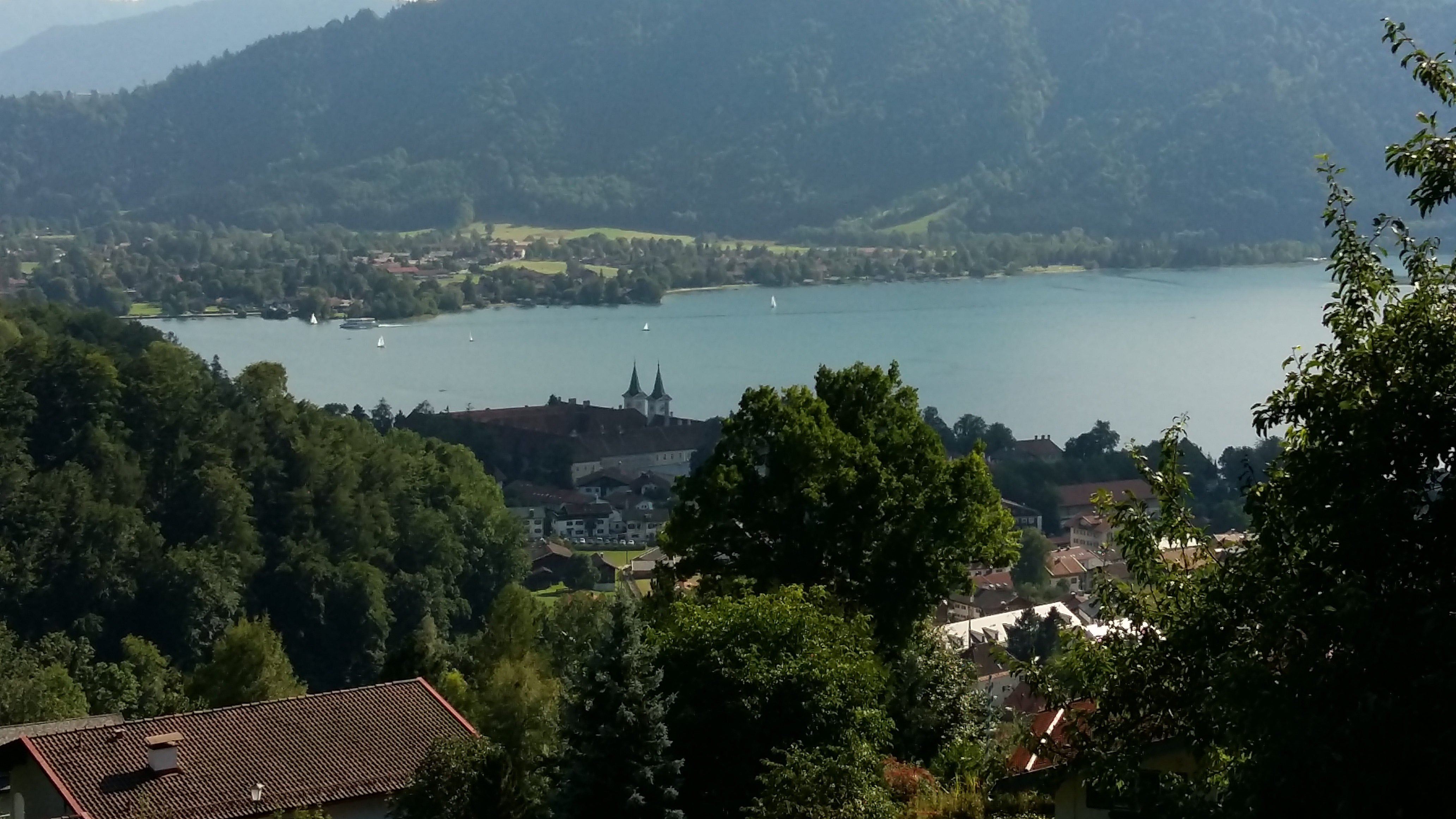 courtyard.
The beer is good, too. On the outside benches, we had a dark beer (5 per cent, right). So good we had two which was enough to facilitate a rather too blase walk to the railway station in relation to fast-moving cars! 
Great walk. Peaceful. Not too strenuous (though the final ascent  to Gindelalmschneid can set the pulse racing if needed). The lake itself was benign and evocative. A very nice place to sit and wind down, though it is a wealthy town. A small apartment will knock you back 500K Euros. Best just to visit.

Leave a comment